
In a bid to harness advanced geospatial technology to safeguard and rejuvenate the Ganga river, The Survey of India has joined hands with National Mission for Clean Ganga (NMCG). By utilising Digital Elevation Models (DEM), the initiative will work on the understanding of the river basin’s topography, with an aim to come up with data-driven conservation strategies.
"High-resolution GIS-enabled data is utilised to regulate protected and regulatory zones with accuracy, ensuring ecological preservation. Critical hotspots are identified for targeted interventions, while advanced mapping techniques optimise discharge management."
The Survey of India took to X to share.
This approach will spot critical pollution hotspots to then, in turn, address the contamination effectively.
In order to enhance real-time monitoring and encourage public participation, interactive geo-portals and user-friendly mobile applications are being developed for both citizens and stakeholders.
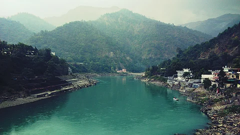
The Survey of India, headquartered in Dehradun, plays a central role in leveraging geospatial technology for mapping and conserving the mighty Ganga. As a renowned mapping organisation, it uses its expertise and resources here to develop DEM, GIS data and user-friendly apps to support the NMCG.

